


germine

rbonino
User

Length
27 km

Max alt
1373 m

Uphill gradient
304 m
Km-Effort
34 km

Min alt
572 m

Downhill gradient
1079 m
Boucle
No
Creation date :
2021-02-13 11:17:00.954
Updated on :
2021-02-13 14:16:50.741
2h57
Difficulty : Very easy

FREE GPS app for hiking
 SityTrail
IGN / Geographical institutes
SityTrail Plus
The world is yours!
About
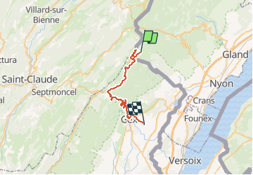
Trail Cross-country skiing of 27 km to be discovered at Vaud, District de Nyon, La Rippe. This trail is proposed by rbonino.
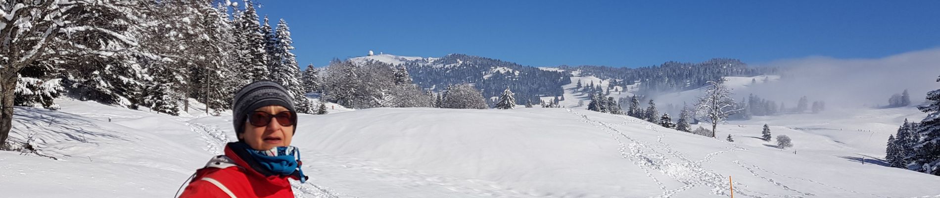
Photos


Positioning
Country:
Switzerland
Region :
Vaud
Department/Province :
District de Nyon
Municipality :
La Rippe
Location:
Unknown
Start:(Dec)
Start:(UTM)
275841 ; 5145179 (32T) N.
Comments